How does land change — and how do we move through it safely?
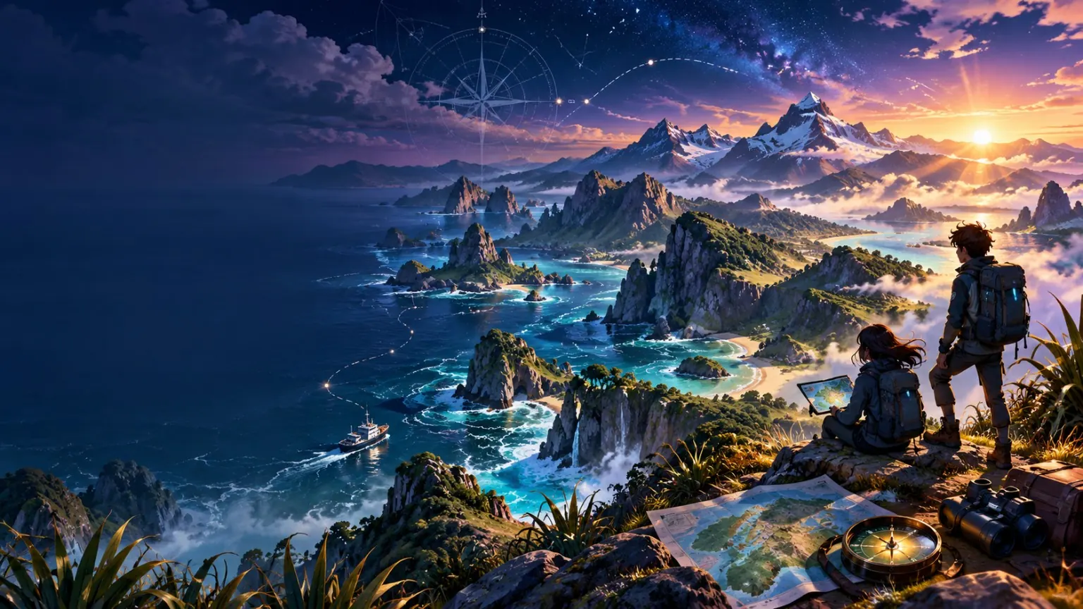
EDGE OF THE WORLD · EXPEDITION DESK: A fictional alpine route crosses river, moraine and steep terrain. The map is not enough by itself: conditions, daylight, equipment and group capability all matter. Build a route, then adapt it when the environment changes.
ACTIVE OBJECTIVEEDGE OF THE WORLD · EXPEDITION DESK: A fictional alpine route crosses river, moraine and steep terrain. The map is not enough by itself: conditions, daylight, equipment and group capability all matter. Build a route, then adapt it when the environment changes.
WORLDWHENUA & POWER
SEQUENCE01 / 08
REWARDGAME BREAK
BEFORE YOU START
Get set for this mission.
You can complete the essential lesson on this page. You do not need to print anything.
YOU NEED
Required: a device with this page open.
Optional: headphones for video or read-aloud.
Optional: pen + paper for rough working if that helps you think.
HOW TO DO IT
Read or listen to the Briefing + Learn.
Do the interactive mission.
Use the reading and maths/data evidence.
Make your decision and add the Project HQ step.
Play the weekly game if you want, then complete Check-in.
WORK YOUR WAY
Short bursts are fine. Use Learning Tools for easier reading, read-aloud, less on screen, stronger contrast, no-rush and quieter-screen options.
If a question feels hard, go back to the worked teaching, use the hint/feedback, and try one step at a time.
MISSION BRIEFING
EDGE OF THE WORLD · EXPEDITION DESK: A fictional alpine route crosses river, moraine and steep terrain. The map is not enough by itself: conditions, daylight, equipment and group capability all matter. Build a route, then adapt it when the environment changes.
✓Explain how rivers and glaciers can shape landscapes through erosion, transport and deposition.
✓Read scale, contour/elevation and route information from a simplified topographic-style map.
✓Calculate distance, travel time and temperature change in a fictional expedition plan.
✓Use changing conditions to revise a plan and communicate risk without claiming that risk can be removed completely.
◈
INTERACTIVE LEARN MODE
No passive video this week.
This mission is deliberately built around its simulator, investigation, decision room or prototype instead of an external video.
LEARN
LAND → MAP → CONDITIONS → RECHECK
Landscapes change through processes acting over time. Rivers erode, transport and deposit sediment. Glaciers also erode and transport material, leaving features such as valleys and moraines as ice advances or retreats over long periods. Moving safely through an alpine environment requires a separate kind of reasoning: MAP → CONDITIONS → CAPABILITY → EQUIPMENT → DECISION → RECHECK. A route that looks possible on a map may become unsuitable when temperature, river level, daylight or visibility changes. Good risk communication is specific about the hazard, who may be affected, what action reduces exposure and what uncertainty remains.
Landscapes change through processes acting over time. Rivers erode, transport and deposit sediment. Glaciers also erode and transport material, leaving features such as valleys and moraines as ice advances or retreats over long periods. Moving safely through an alpine environment requires a separate kind of reasoning: MAP → CONDITIONS → CAPABILITY → EQUIPMENT → DECISION → RECHECK. A route that looks possible on a map may become unsuitable when temperature, river level, daylight or visibility changes. Good risk communication is specific about the hazard, who may be affected, what action reduces exposure and what uncertainty remains.
LEARNING BUILD
Refresh → Teach → Worked example → We do → You try
Build the idea before you enter the specialist lab. The point is to understand the reasoning, not just get through the buttons.
PREREQUISITE REFRESH
Reasoning lens:SOURCE → CONTEXT → CHANGE / POWER / PLACE → LIMIT → CONCLUSION
Bring these prerequisite tools back online.
English / communication:Geographic explanation, procedural language and clear risk communication.
Maths / data:Map scale, contour/elevation, distance, time and negative temperatures.
This week’s first target:Explain how rivers and glaciers can shape landscapes through erosion, transport and deposition.
Quick evidence refresh: which source is a defensible starting point?
Choose a source that can directly support part of the investigation. More than one source may be useful, but start with evidence that does not outrun its support.
TEACH 1 · CORE MODEL
Landscapes change through processes acting over time. Rivers erode, transport and deposit sediment. Glaciers also erode and transport material, leaving features such as valleys and moraines as ice advances or retreats over long periods. Moving safely through an alpine environment requires a separate kind of reasoning: MAP → CONDITIONS → CAPABILITY → EQUIPMENT → DECISION → RECHECK. A route that looks possible on a map may become unsuitable when temperature, river level, daylight or visibility changes. Good risk communication is specific about the hazard, who may be affected, what action reduces exposure and what uncertainty remains.
TEACH 2 · WHAT TO NOTICE
Explain how rivers and glaciers can shape landscapes through erosion, transport and deposition.Read scale, contour/elevation and route information from a simplified topographic-style map.
TEACH 3 · CONNECT + TRANSFER
Calculate distance, travel time and temperature change in a fictional expedition plan. Use changing conditions to revise a plan and communicate risk without claiming that risk can be removed completely.
WORKED EXAMPLE · EVIDENCE
MAP FILE
The fictional route is 8.4 km long and climbs from 620 m to 1,180 m before descending to the shelter.
Reasoning: Start with exactly what the source establishes. Connect it to the relevant concept, then stop before the claim becomes broader than the evidence. Now compare it with LANDSCAPE FILE: A broad U-shaped valley, exposed rock and a ridge of deposited debris are consistent with past glacial shaping in the fictional landscape.
Why caution still matters:This item is useful context, but context is not the same as direct proof. Combine it with stronger evidence before making a broad conclusion.
WORKED EXAMPLE · MATHS / DATA ROUTE
The route is 8.4 km. A group travels the first 5.6 km before changing route. What fraction of the original route have they completed?
This week’s maths/data focus:Map scale, contour/elevation, distance, time and negative temperatures.
Identify the dates, quantities, denominator or map scale first. Calculate carefully, then return the number to its historical or geographic context. A correct number does not explain the whole story by itself.
Worked solution:Write the completed distance as a fraction of the full route: 5.6 ÷ 8.4 = 56 ÷ 84 = 2 ÷ 3. The group completed 2/3 of the route.Answer check:2/3. Now return the result to the question and state what it means in context.
WE DO · GUIDED PRACTICE
Which source needs the most caution before it is used to support a broad conclusion?
Choose a source that mainly supplies context rather than direct proof of the whole conclusion.
YOU TRY · INDEPENDENT PRACTICE
For Edge of the World, explain one core idea in your own words. Use one named source or observation from this page, then add one sentence saying what that evidence does NOT prove.
Write at least 18 words. Name the evidence or data you are using and keep the claim inside what it can support.
MISCONCEPTION CHECK
LANDSCAPE FILE:A broad U-shaped valley, exposed rock and a ridge of deposited debris are consistent with past glacial shaping in the fictional landscape.
This item is useful context, but context is not the same as direct proof. Combine it with stronger evidence before making a broad conclusion.
HELP
Try: “The source shows ___. In this context, that matters because ___. It does not prove ___. My conclusion is ___.”
STRETCH · OPTIONAL
Add a second source, data point or test. Explain whether it strengthens, weakens or qualifies your first conclusion.
EDGE OF THE WORLD · EXPEDITION DESK
Read the land. Build the route. Recheck when conditions change.
Work through landscape processes, route data and a changing-conditions alert. The goal is not bravery — it is a plan you can justify from the evidence.
LANDSCAPE PROCESS LAB
Is each example mainly erosion or deposition?
Flowing water cuts into a channel and removes sediment.
A river loses energy and leaves sediment on a flatter area.
Moving ice and carried rock scrape and deepen a valley.
Debris carried by ice is left behind as the ice retreats.
FICTIONAL TOPOGRAPHIC ROUTE
START · 620 mSADDLE · 1180 mSHELTER
Starting conditions are clear. Which plan shows the strongest route reasoning?
CONDITION CHANGE · 14:20
Update: visibility is worsening, the temperature near the saddle is now forecast at −2°C, and progress has been slower than planned.
What should happen to the plan?
RISK COMMUNICATION
Which message is most useful?
Classify all four landscape processes, then solve the route, condition-change and risk-message checks.
OPEN THE SOURCE NOTES
SOURCE 1
MAP FILE
The fictional route is 8.4 km long and climbs from 620 m to 1,180 m before descending to the shelter.
SOURCE 2
LANDSCAPE FILE
A broad U-shaped valley, exposed rock and a ridge of deposited debris are consistent with past glacial shaping in the fictional landscape.
SOURCE 3
CONDITIONS FILE
The fictional forecast shows temperature falling from 4°C at the start to −2°C near the high point, with visibility worsening later in the day.
SOURCE 4
ROUTE LIMIT
A map and forecast support planning, but they cannot guarantee real-time track, river or weather conditions. The simulation is not real-world trip advice.
INVESTIGATE + ENGLISH · EVIDENCE CASE
A route is a moving decision, not a line on a map
The fictional expedition map shows a valley route climbing steadily toward a high saddle before dropping to a shelter. The valley contains features shaped by flowing water and past ice. A river crosses the lower route, while exposed slopes and deposited debris mark other landscape processes. The planned journey looks manageable under the starting conditions, but the forecast changes as elevation increases: temperature falls, visibility worsens and daylight becomes more limited. Good expedition planning therefore combines geographic understanding with repeated decision-making. Distance matters, but so do elevation, pace, conditions, equipment and the ability to turn back or choose a safer alternative.
MAKE THE CALL
Choose the safest defensible route from the expedition evidence. Then respond to the condition-change alert: explain whether you continue, alter the route or turn back, using distance, elevation, daylight and conditions rather than confidence alone.
BUILD YOUR CASE CONCLUSION1. Make the call. 2. Use at least two relevant pieces of evidence. 3. Explain one limitation or uncertainty. 4. Finish with what can responsibly be concluded.Strong structure: My judgement is… The strongest evidence is… However, we still do not know… Therefore…
CASE CONCLUSION: Write 180–240 words explaining how the fictional landscape was shaped and how your expedition plan responds to it. Include one river or glacial process, two map/condition facts, one route change you would make if conditions worsen, and a clear risk message that does not promise complete safety.
0/180 words minimum for this writing mission.
CLAIMEVIDENCELIMITATIONCONCLUSION
MATHS + DATA LAB
Check the numbers.
HOW TO SUCCEEDRead the situation first. Estimate what a sensible answer should look like, choose an efficient calculation, then use the feedback to check your reasoning.For data questions, explain what the number shows — and what it does not prove.
The route is 8.4 km. A group travels the first 5.6 km before changing route. What fraction of the original route have they completed?
Estimate first, then choose the answer.
MISSION 05 · MATHS + DATA LAB
DATA TRAINING
MEASUREMENT + GEOMETRY · YEAR 7 CORE
6 PROBLEMS
QUICK METHODMEASUREMENT + GEOMETRY
Write the correct formula or conversion before substituting values.
GUIDED · Q01–Q03Use the quick method, then check the explanation.
Q01
Rectangle 8 m × 5 m. Area?
Area = length × width = 8 × 5 = 40 m².
Q02
Rectangle 8 m × 5 m. Perimeter?
Perimeter = 8 + 5 + 8 + 5 = 26 m.
Q03
A straight angle measures…
A straight line forms a 180° angle.
INDEPENDENT · Q04
2.5 m equals…
1 m = 100 cm, so 2.5 m = 250 cm.
INDEPENDENT · Q05
A triangle has angles 50° and 60°. Third angle?
Triangle angles total 180°: 180 − 50 − 60 = 70°.
INDEPENDENT · Q06
A cube has side length 3 cm. Volume?
Volume = 3 × 3 × 3 = 27 cm³.
OPTIONAL CHALLENGE · OPEN RESPONSE
Design a rectangle with area 36 m². Find its perimeter, then find a different rectangle with the same area.
0 words · optional
KEEP YOUR SKILLS SHARP
YOUR WEEKLY TRAINING
Four short sessions to spread across your week. Each has six problems and a reasoning mission. Allow about 10–15 minutes per session, and take longer when you need it.
Use paper for working. Enter numbers only; units are shown beside each answer. These are fictional practice scenarios.
0 / 24 correctSESSION 1 · NUMBER CHECK0 / 6
LEARN THE METHOD
Use brackets first, then powers, multiplication/division, and addition/subtraction. For fractions, use a common denominator.
WORKED EXAMPLE
18 + 4 × 3 = 18 + 12 = 30. But (18 + 4) × 3 = 66.
Use a hint
Multiply first: 8 × 3 = 24; add 73 to get 97.
Use a hint
Brackets first: 81 × 3 = 243.
Check the method after trying
8² = 64; subtract 3.
Check the method after trying
One quarter is 70; multiply by 3.
Check the method after trying
1/2 = 2/4, so 2/4 + 1/4 = 3/4 = 0.75.
Check the method after trying
(587 − 3) ÷ 8 = 73.
Compare your reasoning after trying
Multiplication is done before addition unless brackets change the order. For example, 2 + 3 × 4 = 14, but (2 + 3) × 4 = 20.
Your example may differ. Check your calculations and whether you explained why.
SESSION 2 · SCALE EXPLORER0 / 6
LEARN THE METHOD
A 1:n scale means 1 unit on a drawing represents n of the same units in reality. Convert units after scaling. 100 cm = 1 m and 1,000 m = 1 km.
WORKED EXAMPLE
On a 1:500 plan, 4 cm represents 4 × 500 = 2,000 cm = 20 m. A 30 m real distance would be 6 cm on the plan.
metres
Use a hint
74 × 100 cm ÷ 100 = 74 m.
metres
Use a hint
3 × 500 ÷ 100 = 15 m.
cm
Check the method after trying
148 × 100 ÷ 200 = 74 cm.
km
Check the method after trying
5 × 2 = 10 km.
Check the method after trying
200 ÷ 4 = 50.
km
Check the method after trying
Add the two travelled sections: 74 + 3.
Compare your reasoning after trying
The drawn length halves: 20 m is 4 cm at 1:500 but 2 cm at 1:1,000. Each map centimetre now represents twice as much.
Your example may differ. Check your calculations and whether you explained why.
SESSION 3 · SIGNED NUMBER LAB0 / 6
LEARN THE METHOD
Negative numbers are below zero. A rise is positive; a fall is negative. Calculate change as final minus starting temperature.
WORKED EXAMPLE
From −6°C to 9°C: 6 degrees to zero and 9 more = a rise of 15°C. From 9°C to −6°C, the signed change is −15°C.
°C
Use a hint
−4 + 75 = 71.
°C
Use a hint
4 to zero, then 75 more: 79.
°C
Check the method after trying
Final − start = −4 − 75 = -79.
°C
Check the method after trying
The total is zero; zero divided by 3 is zero.
°C
Check the method after trying
−75 + 4 − 5 = -76.
°C
Check the method after trying
Add the readings and divide by 2: (75 − 4) ÷ 2.
Compare your reasoning after trying
No. −5°C + 8°C = 3°C, while 10°C + 8°C = 18°C. Equal changes do not imply equal starting or final values.
Your example may differ. Check your calculations and whether you explained why.
SESSION 4 · CHANCE LAB0 / 6
LEARN THE METHOD
For equally likely outcomes, probability = favourable outcomes ÷ total outcomes. A probability of 0 is impossible and 1 is certain. Expected counts are predictions, not guarantees.
WORKED EXAMPLE
With 3 red and 7 blue counters, P(red) = 3/10 = 0.3. Over 50 draws with replacement, expect about 15 red, but actual results can vary.
Use a hint
5 out of 20 = 1/4 = 0.25.
Use a hint
3/4 = 0.75.
Check the method after trying
5/10 = 1/2 = 0.5.
Check the method after trying
Expected count = 584 × 1/2. This is not guaranteed.
Check the method after trying
Probability = 1/4; expected count = 292 ÷ 4.
Check the method after trying
There are no yellow counters, so this outcome is impossible.
Compare your reasoning after trying
No. Each independent flip still has probability 1/2 of heads. Earlier results do not force the next outcome.
Your example may differ. Check your calculations and whether you explained why.
Answers and reasoning save on this device when browser storage is available.
PROJECT HQ · TERM 2
PROJECT HQ · PROJECT FILE 08
IMPROVE — test clarity, accuracy and usability.
Start something real. Build an idea, test it, improve it, and share it. Make your move.
Our Place / Our Story begins now. Choose an Aotearoa or rohe inquiry that can be investigated with more than one source. You can refine the question as the evidence grows.
PROJECT HQ · PROJECT FILE 08
IMPROVE
Make your move.
PROJECT JOURNEYWEEK 8 / 9IMPROVE
Start something real. Build an idea, test it, improve it, and share it.
Challenge the draft before the final exhibition/summit.
THIS WEEKIMPROVE
Complete only this project step today. Your saved work carries forward, so you do not need to finish the whole project at once.
A STRONG STEPSpecific · useful · achievable
Use evidence from this week's mission, name a real audience or purpose, and make the idea small enough to test and improve.
BEFORE YOU SAVE, CHECK:✓ I answered every field clearly✓ I used evidence or reasoning from this week✓ My next step is realistic
Complete each field with enough detail to carry this work into the next week. This step saves on this device as you type.
IDEA→RESEARCH→PLAN→BUILD→TEST→IMPROVE→PRESENT
Project sharing will be optional. A future upload system must keep private submission separate from public-showcase/marketing permission.
 01BRIEF
 02LEARN
 03INVESTIGATE
 05DECIDE
 07PROJECT
 08CHECK-IN